Piva lake
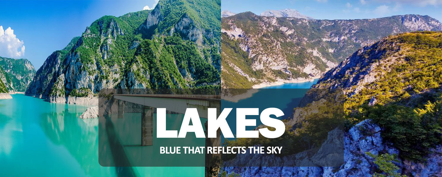
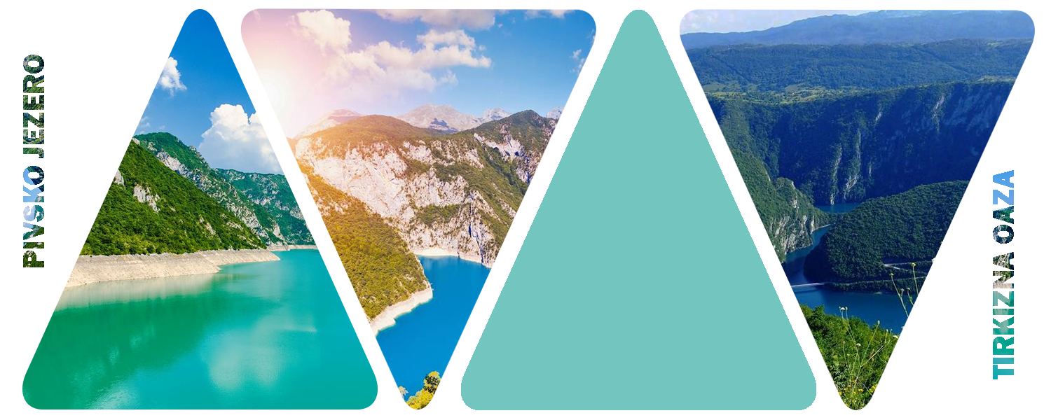
Piva Lake is the largest artificial lake in Montenegro, and the second largest in the country, right after Lake Skadar. It was created in 1975 after the construction of the Piva hydroelectric power plant. Just 10 km from Šćepan Polje, near Mratinje, stands an impressive 220-meter-high dam—one of the tallest in Europe. In some parts, the lake reaches depths of over 180 meters and stretches for 42 kilometers.
This lake represents the largest reservoir of drinking water in Montenegro and offers excellent conditions for flat-water sports. It is especially attractive to fishing enthusiasts and visitors who wish to enjoy a boat cruise and experience the breathtaking views and remaining traces of the once-magnificent Piva River canyon.
With the creation of the artificial Piva Lake, the Piva Monastery had to be relocated to a new site. A team of experts carried out this extraordinary undertaking with such precision and care that the structure and its frescoes remained completely intact, without the slightest disturbance or alteration.
It is also important to note that the flooding of the land where Piva Lake now lies resulted in the permanent loss of the Odmut Cave, once approximately 11 meters deep. This site held valuable archaeological evidence dating back to the early Neolithic period.
Sušica Lake
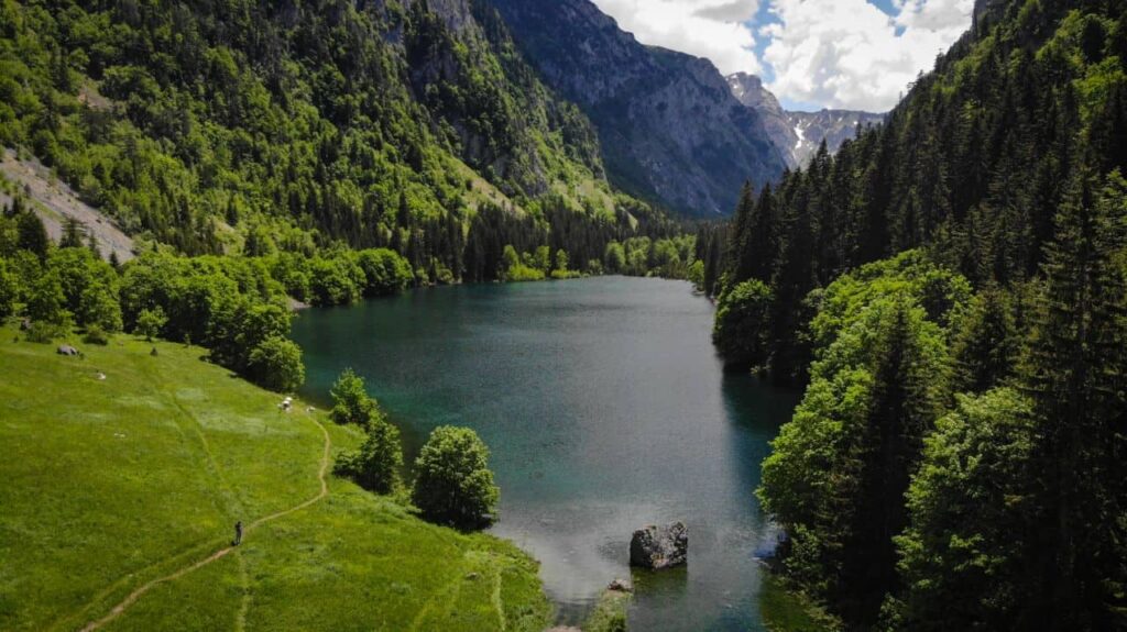
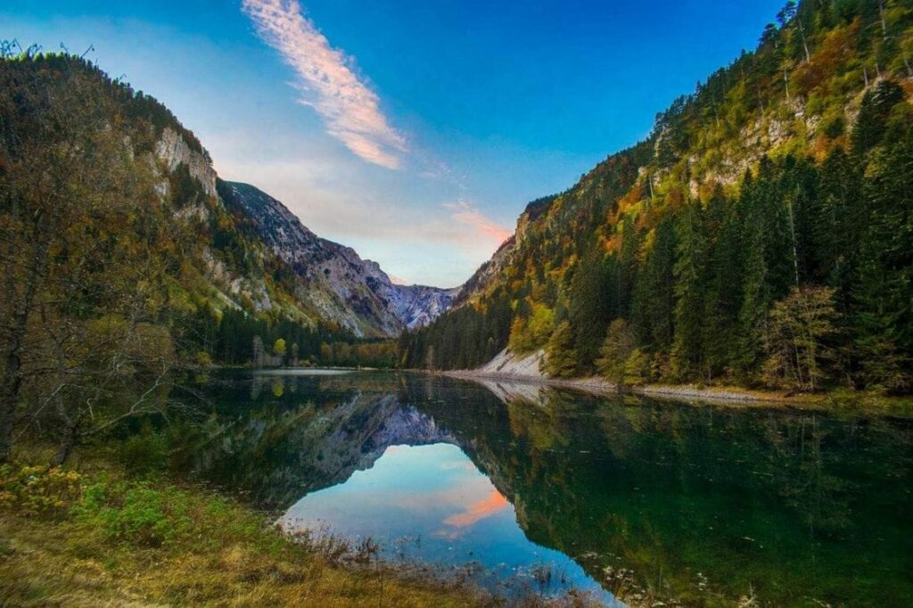
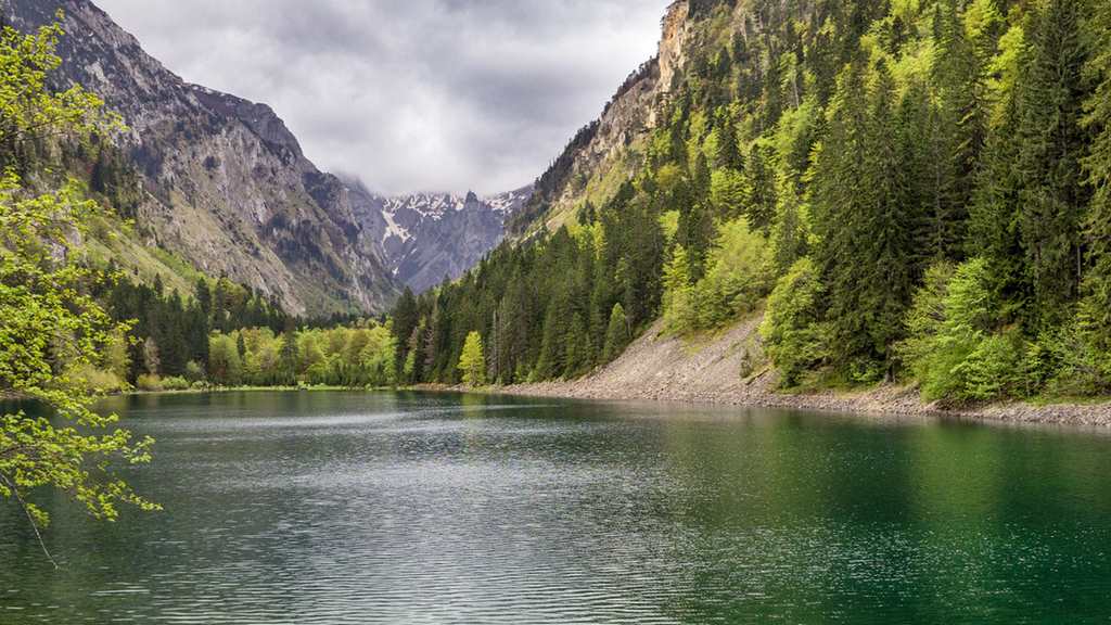
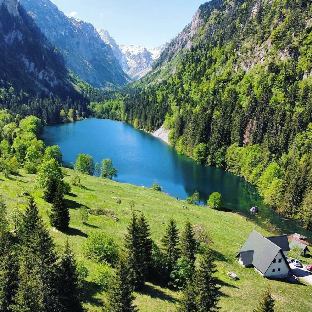
Sušičko Lake is the only periodic lake on Durmitor, as it disappears when the Sušica River dries up. It is located in the widened section of the Sušica Valley, at an altitude of 1,140 meters.
The lake can be reached from Žabljak via the road to Trsa. A trail branches off toward the Škrčka Lakes, and then continues across Dolovi and Skakala to Sušičko Lake. From the Piva region, it can be reached through the village of Nedajno, and there is also access from the villages of Bosača and Veliki Štulac.
The lake is fed by waters from a large part of the Durmitor massif, which flow into it through the Sušica River. When the lake dries up, grassy pastures and meadows suitable for mowing emerge at its bottom. Sušičko Lake is 350 to 450 meters long, up to 200 meters wide, and reaches a depth of 4 to 5 meters.
Škrka Lake
(Big and Small)
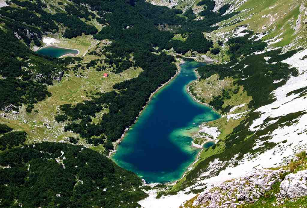
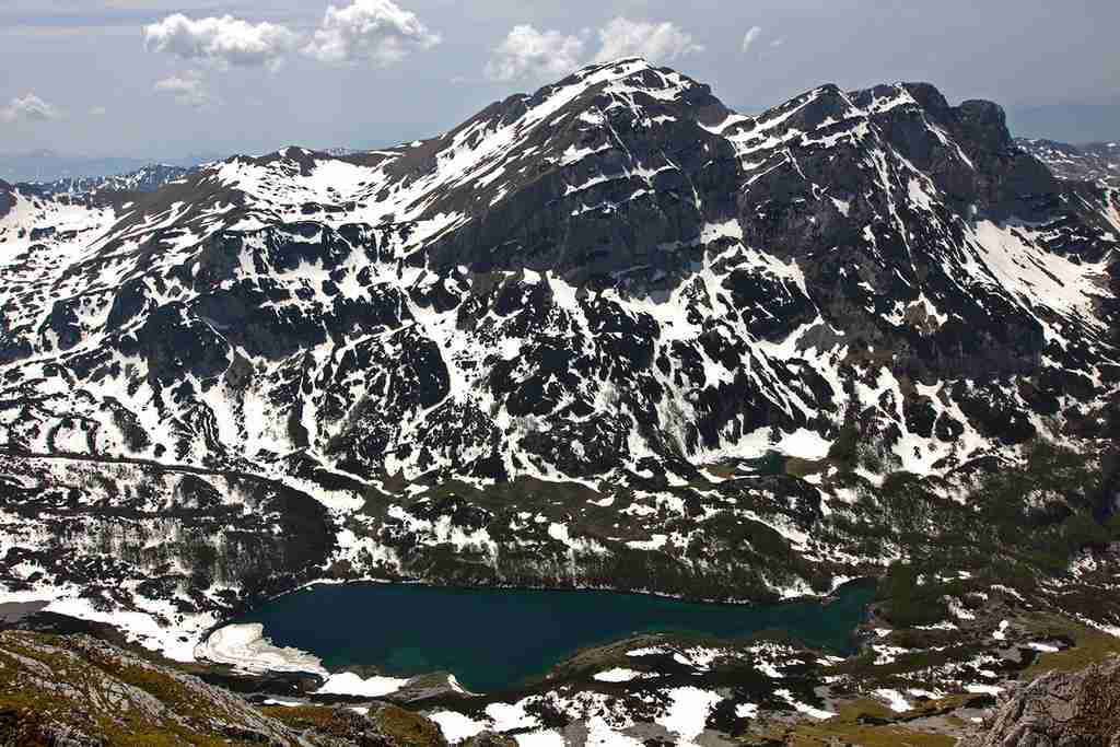
Škrčka Lakes (Big and Small) are among the highest alpine lakes on Durmitor. The Veliko (Great) Lake lies at an altitude of 1,700 meters, while the Malo (Small) Lake rests at 1,730 meters. They are located in a spacious glacial cirque surrounded by peaks including Prutaš, Šareni Pasovi, Bobotov Kuk, and Soa. The cirque is enclosed on three sides, making the lakes remote and difficult to access.
The lakes can be reached from Žabljak via Ališnica, passing near Bobotov Kuk and Samar. This route is physically demanding and takes approximately 5 to 6 hours on foot. Another approach is from the Pošćenski region, along the road leading to Trsa. Off-road vehicles can reach the area of Štit, from where the trail continues on foot toward Šareni Pasovi, followed by a one-hour descent into the Škrčka cirque.
Water from the Škrčka Lakes overflows the basin rim, flowing briefly across the Dolovi area before disappearing into rock fissures. After traveling underground, it reappears at a strong spring known as Skakala. In spring, this spring forms the upper flow of the Sušica River, which fills the basin of Sušičko Lake and continues toward the Tara River.
The lakes are known for their striking greenish color, which is why Veliko Lake is also called the “Green Lake.”
Stabanska lakes
(Big and Small)
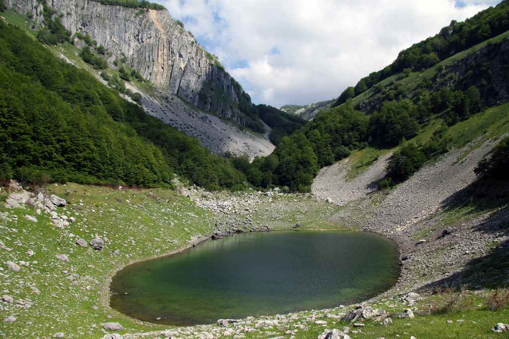
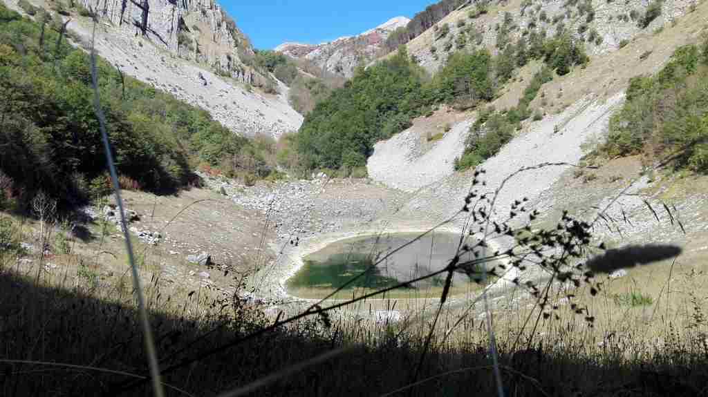
Did you know that the Nature Park Piva hides two breathtaking glacial lakes just 20 km from the town of Plužine? These are the Staban Lakes (Veliko and Malo), named after the nearby village of Stabna, located 4.5 km away. Big Stabansko Lake lies at 1,319 m, while the Malo Stabansko Lake sits slightly lower at 1,194 m above sea level.
The lakes are described together because they are positioned one beneath the other, and during periods of high water level, Veliko Lake overflows into Malo Lake. In summer, the water temperature varies between 16°C and 20°C, creating a refreshing but pleasant environment. Both lakes are rich in trout, making them a favorite spot for sport fishermen. During winter, the lakes freeze over completely.
The easiest access is from Plužine, following the trail along the Vrbnica River and the Staban Stream. Veliko Stabansko Lake is 305 m long, while Malo Lake reaches 165 m during high summer water levels.
The lakes are known for their greenish hues — lighter tones near the shore and darker shades toward the center. Unlike Veliko Lake, the water in Malo Lake has a slightly yellow-green tint, created by the color of its muddy bottom, especially noticeable during the summer months.
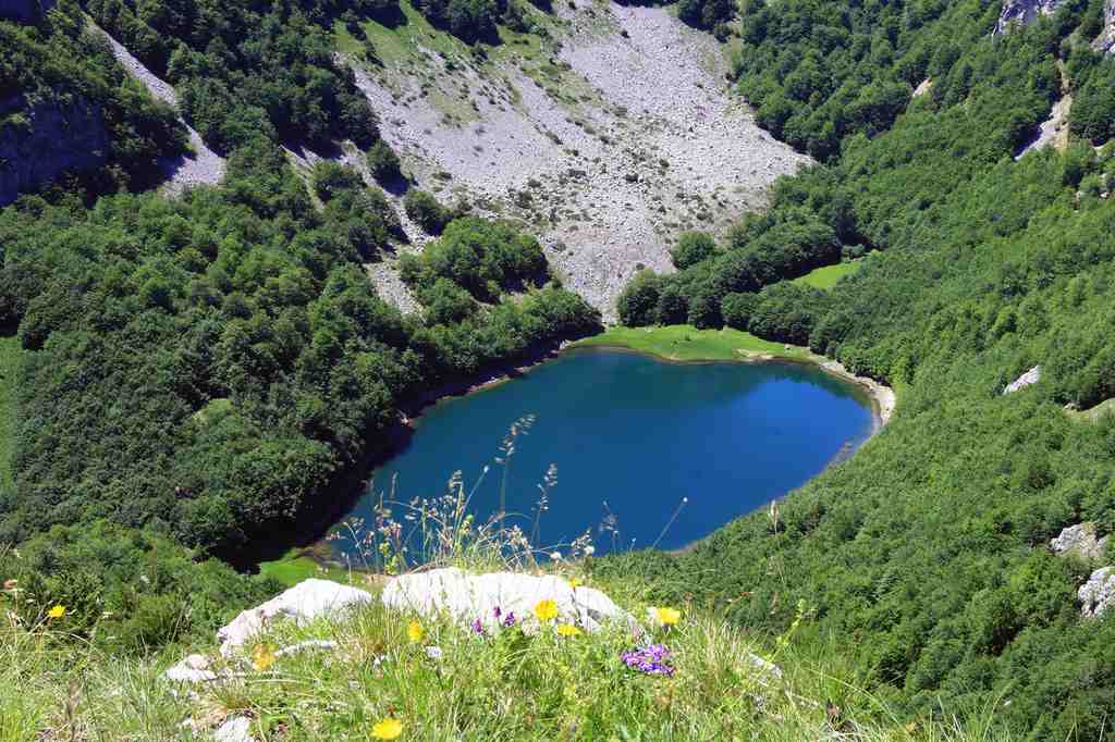
Trnovačko Lake
The Heart-Shaped Lake of Love
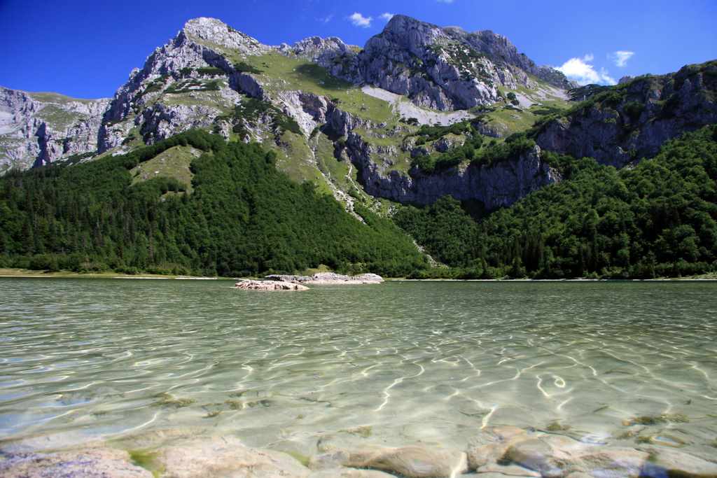
Trnovačko Lake, shaped like a heart and symbolizing love, is one of the most visited lakes in Montenegro, despite the several hours of challenging hiking required to reach it. Once you arrive, take the opportunity to explore the surrounding peaks of Maglić, Volujak, and Trnovački Durmitor.
The lake is located in the far western part of Montenegro, near the border with Bosnia and Herzegovina. To the south rises Volujak Mountain, while Maglić towers to the north. On the slopes of Volujak, the lake is also referred to as Volujačko Lake.
Nestled in this enchanting setting, Trnovačko Lake looks like it belongs in a fairy tale, with its surrounding scenery creating a truly magical atmosphere.
The lake can be reached via a forest trail from Tjentište, passing Dragoš Saddle, the upper course of the Perućica River, and the Prijevor mountain pasture.
From Prijevor, a path through Suva Jezerina leads to the lake in about 1.5 hours. From Plužine, the trail follows the Vrbnica River, passing the Malo and Veliko Stabansko Lakes, though this route is more demanding, taking around 5–6 hours on foot.
Trnovačko Lake lies at an altitude of 1,517 meters. It is 825 meters long and 715 meters wide. The shallow western part of the lake is clear and almost colorless, while the deeper eastern section takes on a vivid greenish hue, creating a striking contrast.